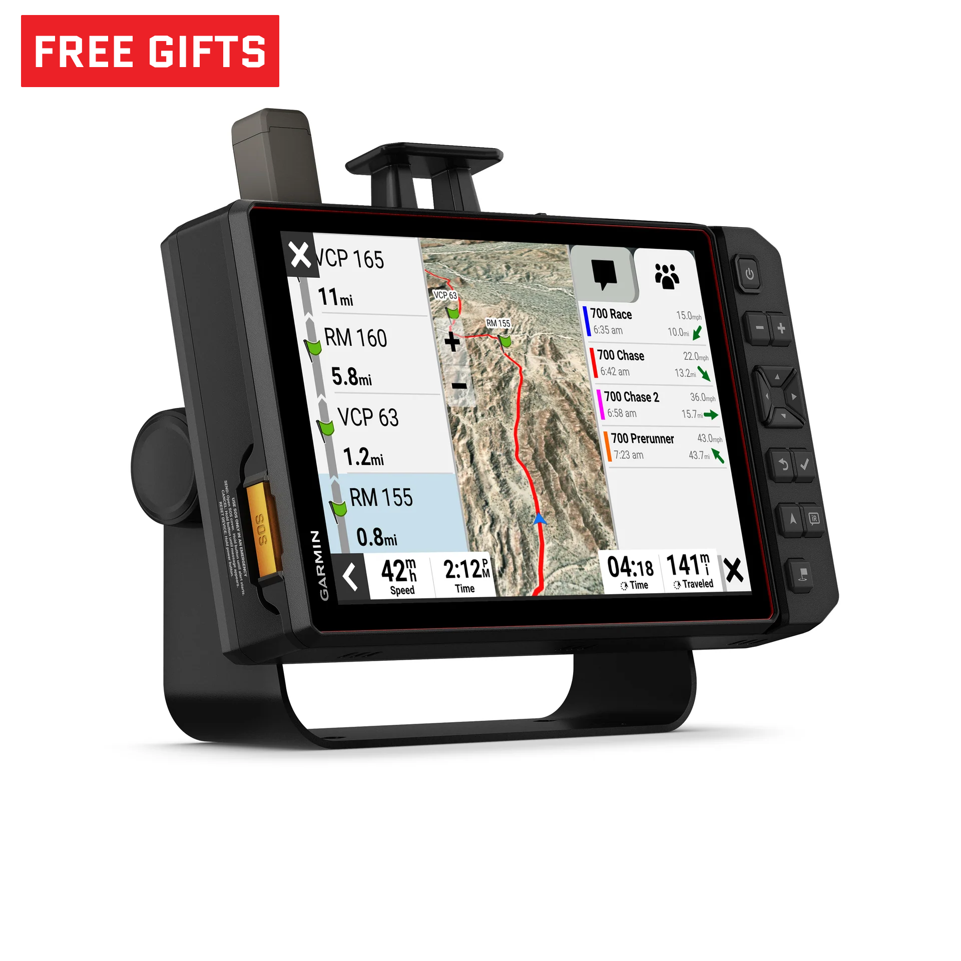
I took a look at a the new Garmin offerings first hand. They're Android tablets with Garmin's software. I'm not saying they're not cool, but the features just don't come anywhere close to justifying the expense... for me. Others might disagree. They do have a lot of cool features, and the satellite messaging / tracking is cool, but in my experience things that do A LOT of things don't do any one thing great... I'll stick to my iPad and separate satellite messenger. We've used both all sorts of places in the USA and MX.
Adding: The Overlander in my glovebox is also an android tablet with Garmin software. It works fine (except for the interface when pairing an InReach mini to it).